
dataClima
Dataclima is an interactive digital platform that provides access to modeled and observed climate indicators for the Portugal mainland and island regions. The modeled climate indicators are made available since 1981, for the various territorial units and aims to support the most relevant activity sectors.
April 2026
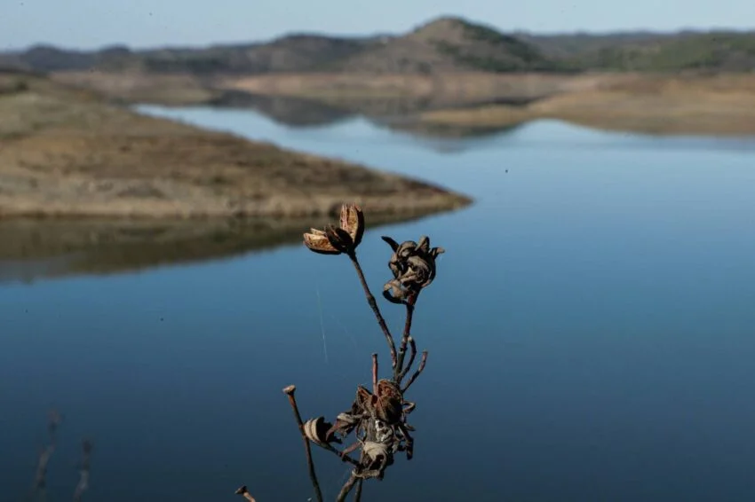
April 2026 in Mainland Portugal was classified as very warm and very dry.
The mean air temperature reached 16.10 °C, which was +2.12 °C above the 1991–2020 climatological average, making it the 6º warmest April on record. The maximum temperature, the 6º highest on record, registered an average value of 22.59 °C, around +3.29 °C above normal, while the mean minimum temperature reached 9.60 °C, corresponding to an anomaly of +0.95 °C.
In precipitation, the month was the 10º driest on record and the 4º driest since 2000, with a monthly total of 28.4 mm, corresponding to 38% of the 1991–2020 normal. In the districts of Aveiro, Lisbon, Évora, Setúbal, Beja, and Faro, it rained only 1/4 of what is normal for the month of april.
The soil water content continued to experience a significant decrease as a consequence of both March and April being recorded as dry or very dry. Soil moisture values below 40% were recorded in all districts of the northern and central interior, as well as the southern region, with the exception of the Faro district.
View the modeled historical data


Exceptionally wet period between November 2025 and February 2026

Between November 2025 and February 2026, mainland Portugal experienced one of the rainiest periods of the last decades, ranking as the 6th wettest period since 1931 and the wettest since 1996. The 2025/26 hydrological year recorded values around 2x above normal in most river basins, with several regions already approaching the average annual total.
February 2026 was particularly anomalous in terms of precipitation, ranking as the wettest Fabruary in 47 years, with rainfall ranging from 300% to 400% of the average across much of the country.
This situation resulted from the persistence of westerly circulation and the southward displacement of the Azores High, which favoured a “train of storms” moving towards the mainland. Several successive depressions, including Storms Leonardo and Joseph, as well as Storm Kristin, which intensified through explosive cyclogenesis, producing gusts exceeding 150 km/h, caused persistent rainfall, floods, inundations, and landslides in various regions of the country.
Discover Our Partners